
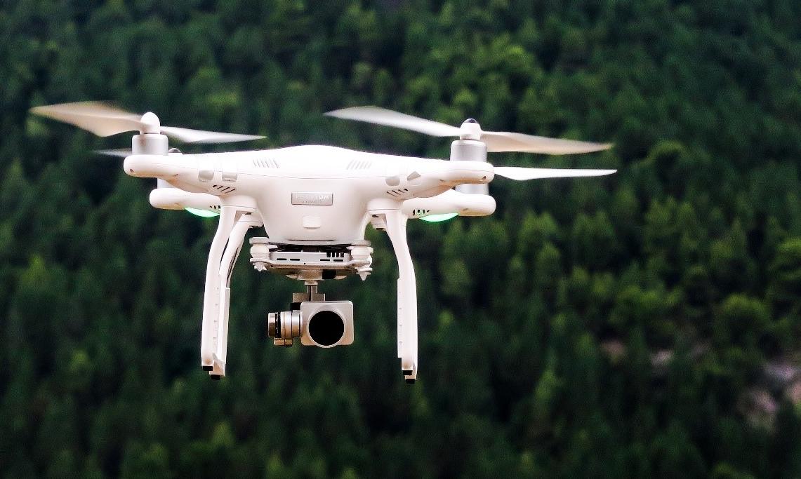
The local administration of Gura Văii commune, in Bacău County, eastern Romania, has launched an extensive inspection of buildings using drones, with initial findings showing significant discrepancies between properties declared by owners and the structures existing on the ground.
The inspections, carried out between April and June 2026, are aimed at updating the taxable building database and identifying construction, extension and renovation works that have not been declared to the local authorities, according to Gura Văii Mayor Silviu Tinei.
The first results have revealed substantial differences in many of the properties examined. Eight out of every ten homes inspected had undergone renovation, extension or construction works that had not been authorised or declared to the local administration, the mayor said.
One example cited by the municipality involves a property recorded in the tax register as an approximately 80-square-metre adobe house. Drone-assisted inspections found instead a two-storey-plus-attic building made of concrete blocks or brick, with an estimated surface of around 200 square metres.
2D and 3D models used in inspections
The local authority said the operation goes beyond aerial photography. The buildings are also subject to measurements and 2D and 3D modelling, allowing officials to compare the structures actually existing on the ground with information contained in municipal records.
The technology is intended to help authorities identify not only completely undeclared buildings, but also extensions and other modifications that may have changed the taxable area of a property.
Mayor Silviu Tinei described 2026 as a “return to normality” in terms of bringing the municipality’s records up to date.
Property owners to be summoned
Owners whose properties show discrepancies will be invited to the Gura Văii town hall to clarify their situation.
According to the municipality, officials will present them with the aerial images, 2D and 3D models and measurements obtained during the inspections. The relevant fiscal and construction legislation will then be applied depending on each individual case.
The mayor has also criticised what he described as a practice whereby some residents expect public infrastructure and services while failing to declare their properties or changes made to them.
“The stage when we want services, we want development, but we don’t want to pay anything for them is over,” Tinei said.
The mayor also referred to discrepancies that can occur in other areas of local taxation and public services, including cases where households report different numbers of residents depending on whether the information is used to calculate waste collection fees or to qualify for social benefits.
Municipality calls 2026 a “zero point”
Gura Văii officials believe the use of aerial technology will significantly improve the municipality’s ability to identify buildings and extensions that do not correspond to official records.
By comparing drone imagery and digital models with existing municipal data, authorities can more easily detect differences in the size, structure and configuration of properties.
The mayor described 2026 as a “zero point” for unauthorised construction in Gura Văii, signalling that inspections and the updating of property records will continue.
The municipality says the drone programme is therefore being used not only as a territorial monitoring tool, but also as a means of updating tax records and identifying buildings and extensions that have not been properly declared.